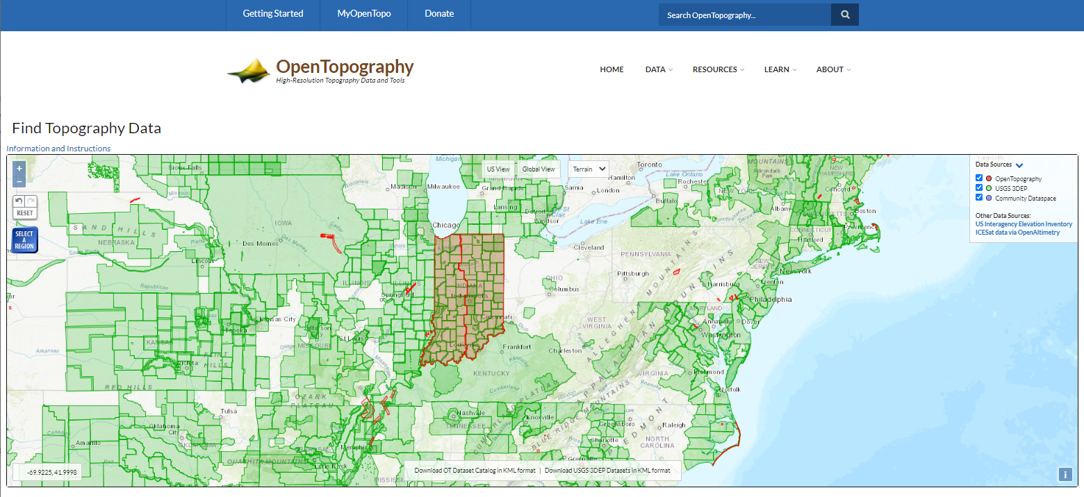
Indiana OpenTopography Server
Indiana’s current Open-Topography Server (currently hosting our 2011-2013 Statewide LiDAR) is funded by IGIC and hosted at the San Diego Supercomputer Center at the University of California, and is operated in collaboration with colleagues in the School of Earth and Space Exploration at Arizona State University and at UNAVCO. Indiana’s new 2016-2020 QL2 3DEP Lidar Data is not yet available to the public on Open-Topography. More information about Indiana’s newest statewide data. |